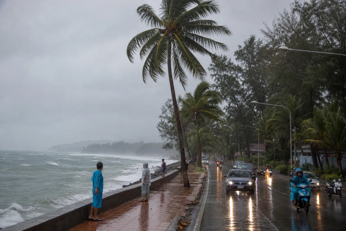
Phuket heads into a rainy, choppy week: thunderstorms, heavy showers and rougher seas
Phuket is entering a stretch where the morning commute is best checked against the weather first: from 25 to 29 October, the island’s west coast is expected to see thunderstorms, heavy rain in some areas, and rougher seas.
What is changing
Over the next few days, Phuket and nearby provinces remain under a wet pattern with frequent showers. Along the west coast, including the island, winds stay in the western sector and the sea can build to around 2 metres or more in thunderstorm zones. That is enough to matter at piers, beach access roads, and low-lying streets where water gathers quickly.
Who should care most
Drivers on coastal routes, boat crews, fishermen, hotel transfers, and anyone planning a beach day without a backup plan will feel it first. In this kind of weather, even a short trip can take longer because of rain, visibility, and local flooding in lower areas.
What the timing suggests
The weather window is not just one isolated day. From 25 to 27 October, west Phuket keeps westerly winds of 15–35 km/h, while 27–29 October continues with showers, though in some places less intense. For the coastline, that means a familiar late-October pattern: not a crisis, but a week when the sea and sky can change faster than your plans.
What to do today
- Check the route to work, school, the pier, or the beach before leaving.
- Build in extra time for rain and traffic.
- Boat operators should check water conditions before departure.
- Beach plans should account for thunderstorms and stronger waves.
It is a normal Phuket season signal — but one that can still reshape the day.