Phuket sea stays rough all week, with stronger winds from 27–29 August
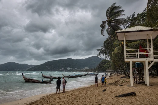
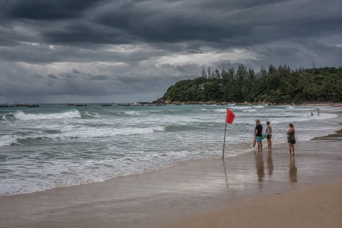
Southwesterly winds will keep Phuket’s west coast choppy through the end of the week, with seas turning rougher from 27–29 August and waves reaching 2–3 metres, higher in thunderstorms.
What the forecast shows
The latest seven-day outlook for the southwest coast is not a short rainy spell, but a continued monsoon pattern. For 23–26 August, areas north of Phang Nga are forecast to see southwesterly winds of 20–40 km/h and waves of 2–3 metres, while areas south of Phuket are expected to see 15–35 km/h winds and waves of 1–2 metres. Thunderstorms will make the sea rougher than usual.
From 27–29 August, the forecast gets stronger for the area north of Phuket: winds of 20–40 km/h, waves of 2–3 metres, and above 3 metres in thunderstorms. For the west coast, that means a familiar monsoon setup, but one that still matters on the water.
Who should pay attention
This matters most for beachgoers, small boats, island tours, and pier departures. The sea can look calm in one hour and turn difficult quickly when a storm line moves in.
If you plan to swim, it is wiser to choose more sheltered spots and avoid the water once the sky darkens or the wind picks up. For boat operators and ordinary visitors alike, the message is the same: keep plans flexible.
Practical steps
- Check the forecast on the day you go out;
- Do not lock in a strict sea route for 27–29 August;
- Allow extra time for piers, transfers, and tours;
- Stay out of the water when thunderstorms build.
This is a typical seasonal week for Phuket, but these are the days when plans often change fast. The closer it gets to the end of August, the more useful it is to watch wind and waves instead of just the calendar.