Phuket’s west coast gets choppier again this week
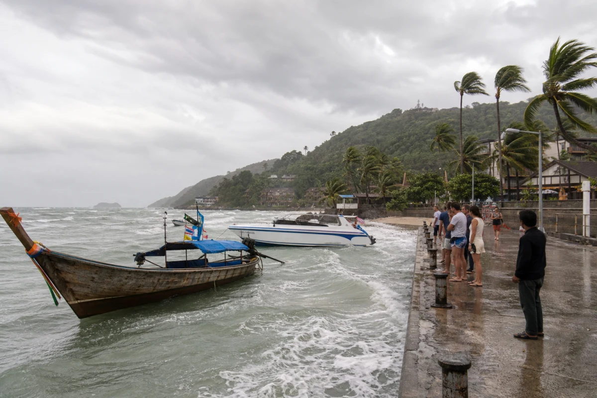
Phuket’s west coast is back in a windy, uneven sea window: on 20–21 August, southwesterly winds north of Phuket are forecast at 20–40 km/h, with higher waves in thunderstorms. For anyone going offshore, that is a real operating constraint.
What’s happening
The latest 7-day forecast for 20–26 August flags 20–21 August as the rougher period. North of Phuket, southwesterly winds are set at 20–40 km/h, with wave heights of 2–3 metres and above 3 metres in thunderstorms. Conditions ease later, with lighter winds expected farther south in the week.
Who it affects
Small boats, island-hopping trips, private crossings and any short Andaman Sea route are the main concern. Large vessels are not banned, but extra caution matters because wind shifts, rain cells and cross-waves can change conditions fast.
Why people should care
A beach may look calm from shore while the waterline is far less friendly. On the west coast, surf, pier approaches and open bays can feel much rougher once the southwest wind picks up. If you have a boat trip, dive outing or transfer planned, leave time in hand and check the departure window.
Practical takeaway
- small boats: stay cautious;
- operators: check wind and wave windows;
- beachgoers: don’t assume the sea stays calm all day;
- travellers: be ready for delays or rescheduling.
After 22 August the forecast turns softer, but the west coast still carries the normal monsoon-season caution, especially in thunderstorm cells.